For young and old
Winter walk Santa Maria alla Fonderia
Winter walk along the Plima river in the fairy-tale winter landscape of Val Martello.
Without a doubt, Val Venosta is one of the most beautiful hiking areas in South Tyrol. And this applies to the whole year! The ample sunshine, the mild temperatures and the unique and contrasting vegetation of Monte Sole in Val Venosta and Monte Tramontana ensure unforgettable experiences for seasoned hikers or beginners. Whether it's dizzying heights or walks along the paths of the canal, each tour offers a breath-taking view and the chance for a break in the various mountain huts.
From April to October 2024, you will again have the opportunity to take part in guided mountain, summit and hiking tours from our partner "Berglouter" three times a week free of charge. For the exact tour programme and registration, please contact reception.
The tours take place every Monday, Wednesday and Friday, with the start of the season and thus the first tour on Good Friday 29 March, throughout the summer and autumn until the last tour on 1 November.
During the summit weeks, hikes take place daily from Monday to Friday.
Summit weeks:
Mon 15.07.24 - Fri 19.07.24
Mon 26.08.24 - Fri 30.08.24
Mon 23.09.24 - Fri 27.09.24
Look forward to tours led by local mountain guides and even more interesting information about the surrounding area and the Venosta Valley.
For the exact tour programme and registration, please contact reception.


The landscape of Monte Sole in Val Venosta with its typical steppe vegetation is one of a kind. There are high-altitude paths with views that extend to the Dolomites! Opposite is the verdant Monte Tramontana with dense forests and lush meadows: the ideal destination for summer hikes. Below are some hiking tips for Laces and the surrounding area.
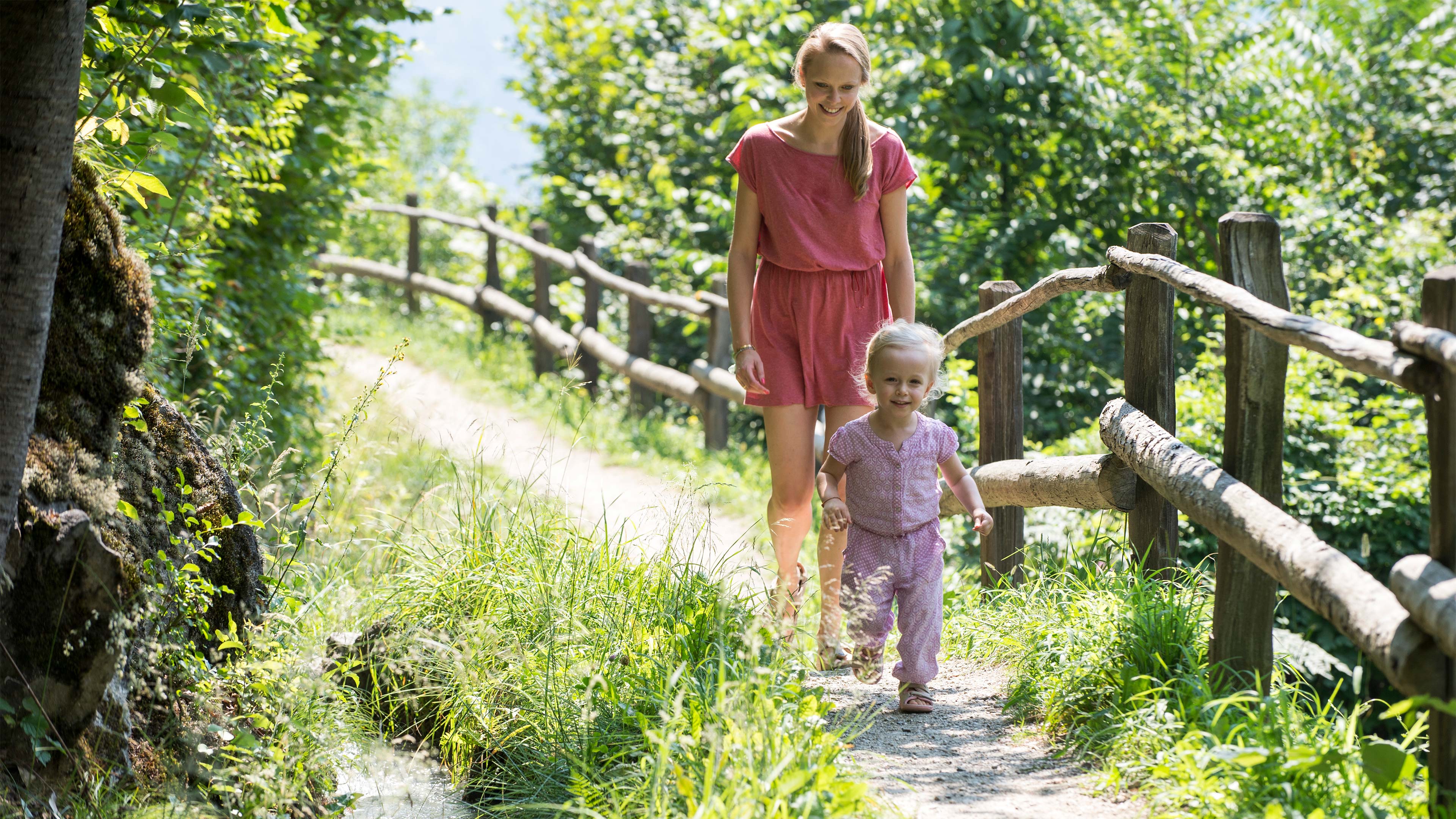
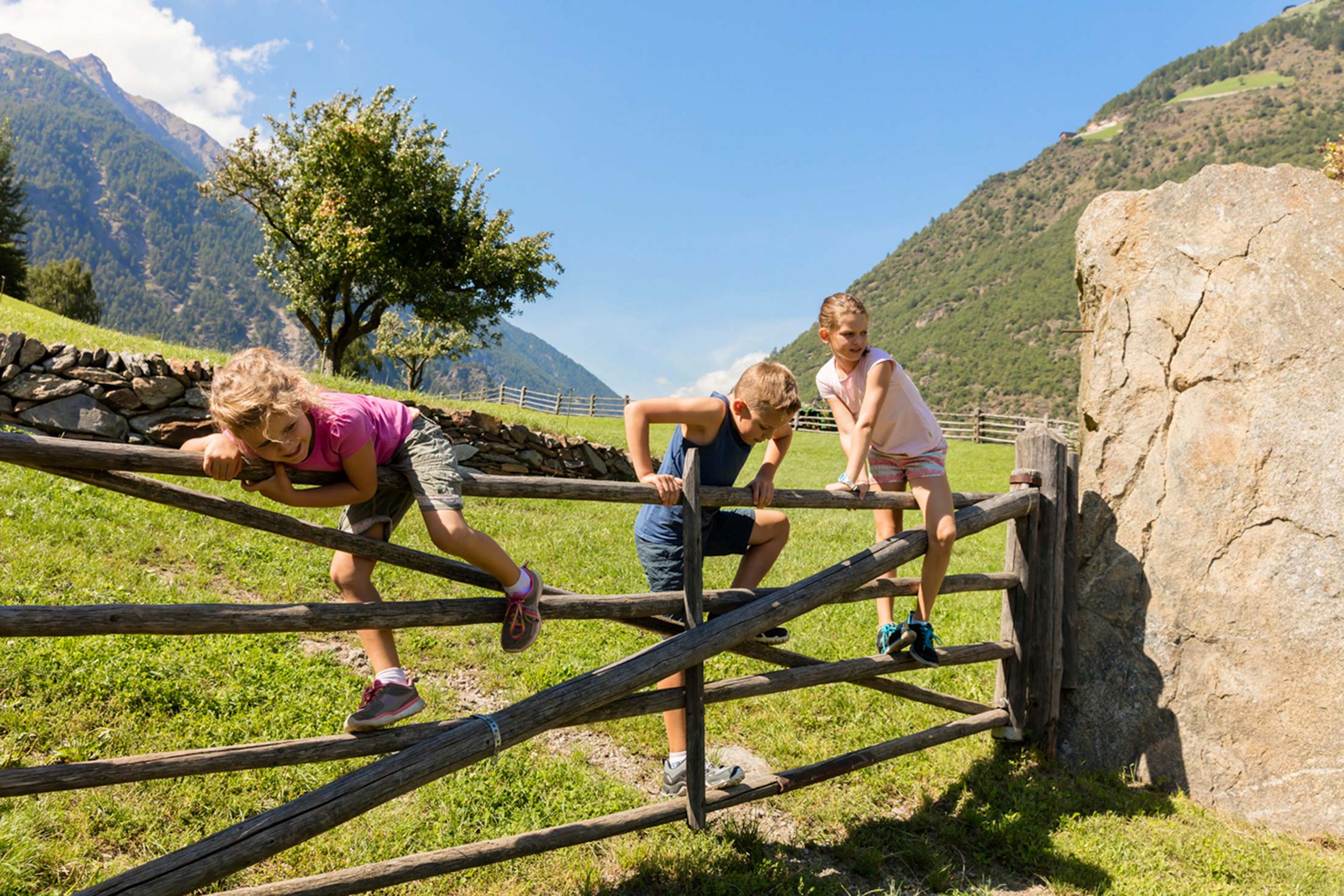
Family Excursions
For young and old
Mountain Huts
For true enjoyers
Peak hikes
For panorama lovers

Winter walk along the Plima river in the fairy-tale winter landscape of Val Martello.

This scenic snowshoe hike ascends up to the lofty heights of the quaint Lyfi Alpine hut.

Discover the area of the Kondlwaal (wooden irrigation channel) and sunny Selva from Europe’s highest corn farm.


The picturesque snowfields of Selva and a stop at the Stallwies inn guarantee a mystical ambience with alpine background.

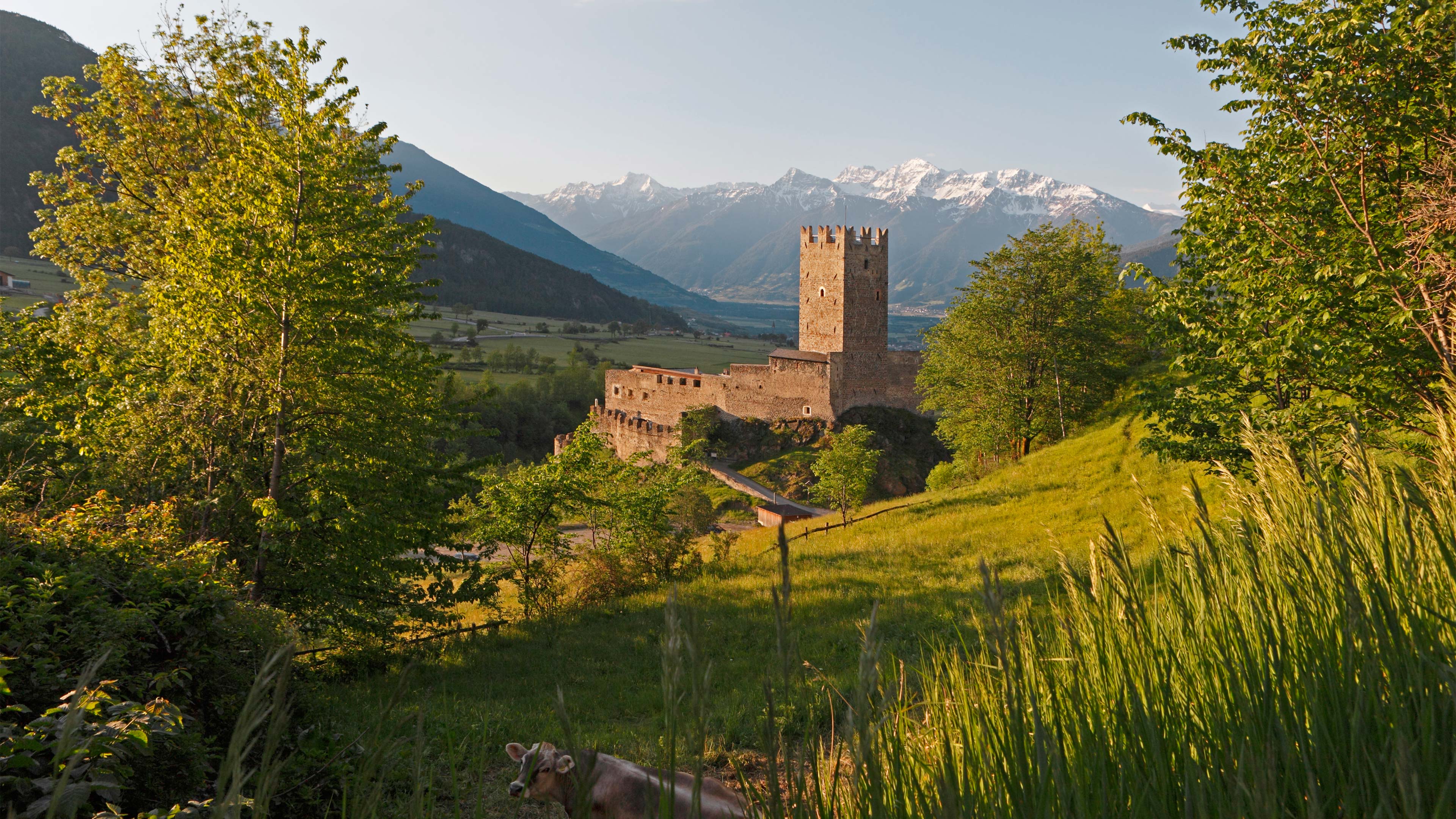
This leisurely hike is varied with castles, churches and nature experiences.

The mountain pasture Lafetz lies on 2,015 m a.s.l in the middle of a magnificent natural landscape.

Walking along snowy meadows, through romantic larch forests in winter silence - all you can hear is the crunching of your feet.

The Göflaner Marble Trail leads from "Kohlplätze" to the Göflaner marble quarry, known as "Mitterwandlbruch".

A pleasant tour and not too difficult; only the part through the woods, along the narrow Sommerweg is somewhat difficult, especially when descending.

The ski tour to Langgrubjoch is still relatively popular. It is relatively easy and not as challenging as the tours on the high neighbouring peaks.

The last big irrigation path in the Val Venosta Valley.

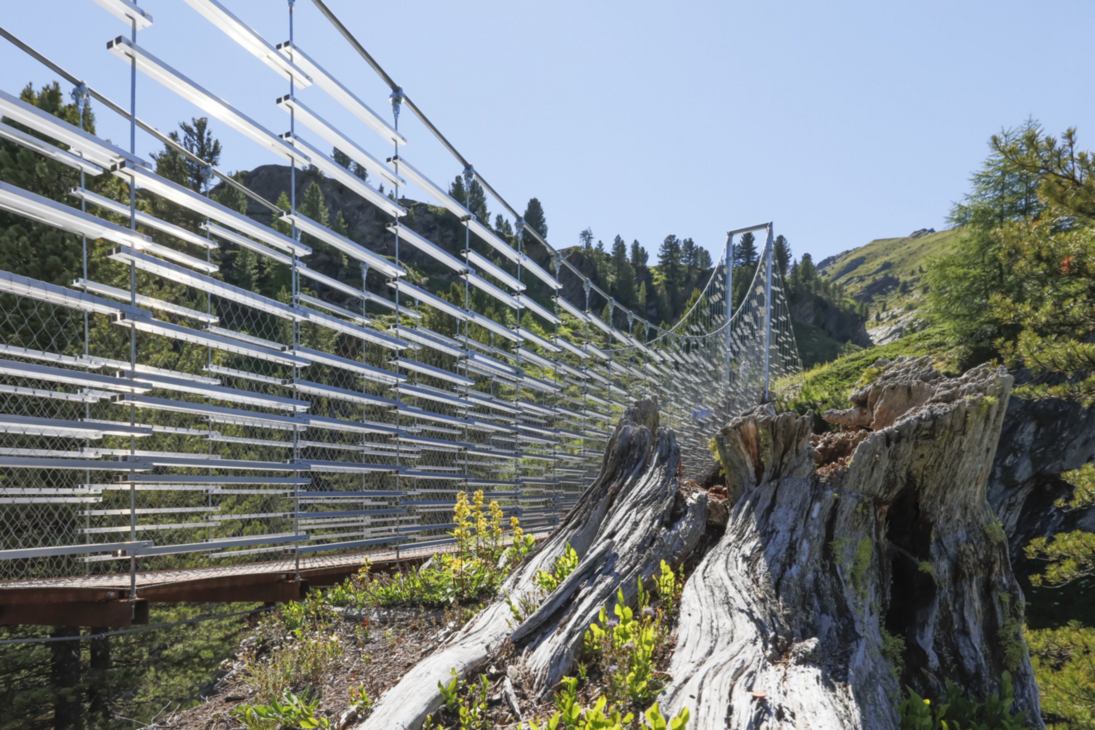
The new Ortler High Mountain Trail extends around the Stelvio National Park, from Venosta Valley in South Tyrol to Valtellina in Lombardy.

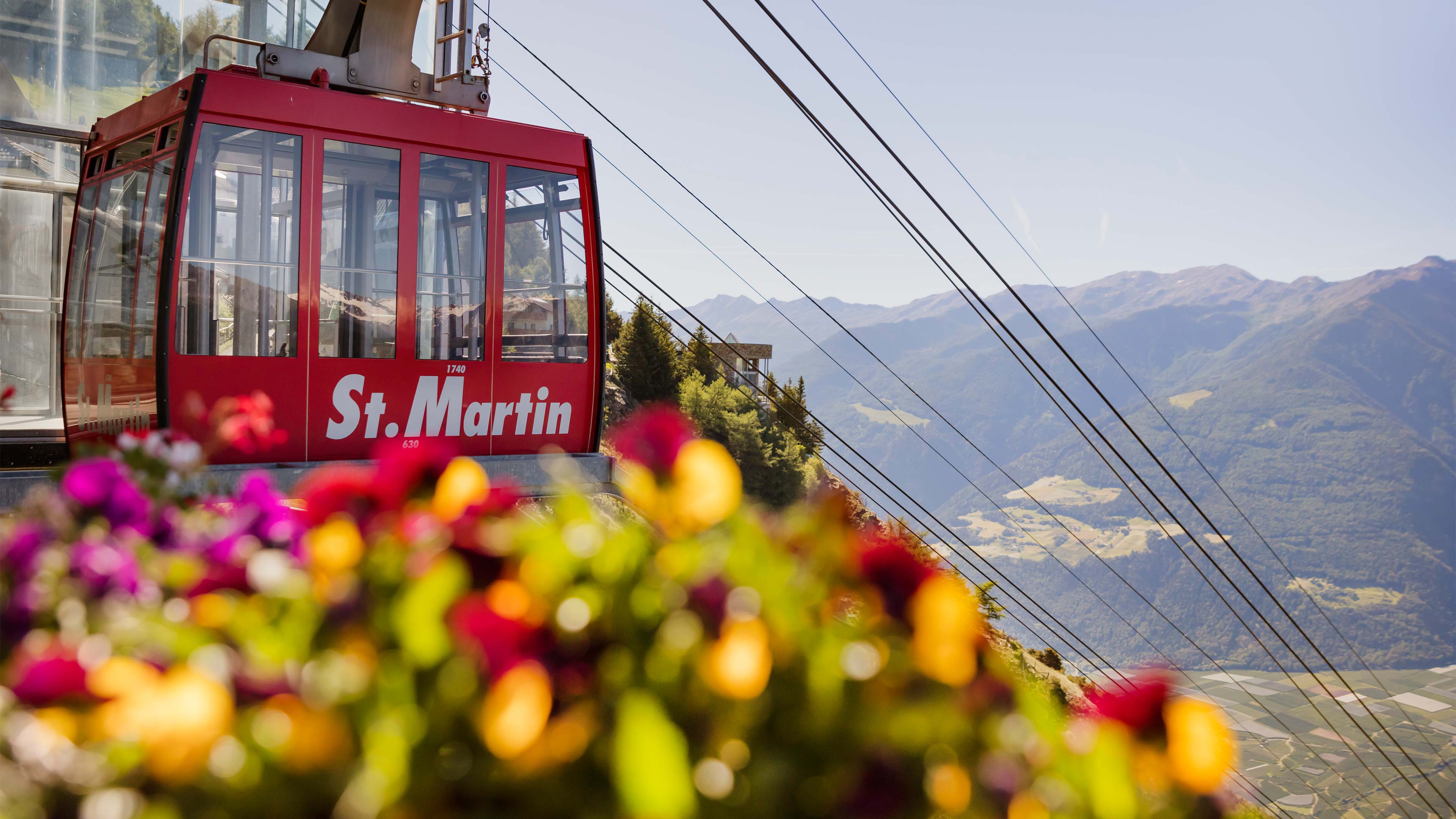
To the sensational viewpoint of the legendary limestone giants. A wonderful, easy circular hike at the Sun Mountain of Laces.

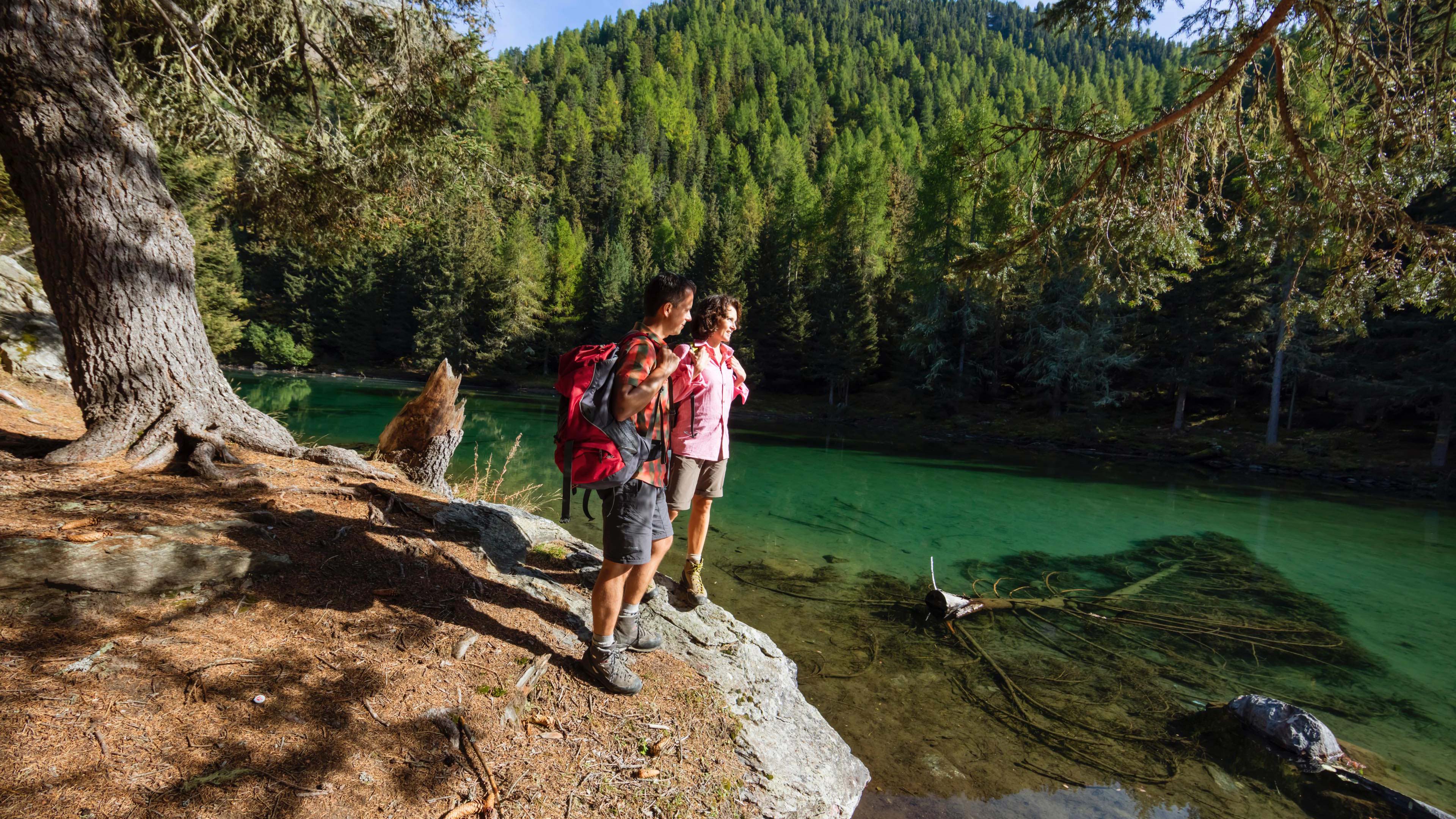
This lake is one of the most popular destinations for family excursions. It enchants thanks to its blue-green colour and is surrounded by woods.

A pleasant tour that passes through the Tarres hut capable of ensuring the thrill of an excursion in nature without forgetting a break based on typical recipes.

In the heart of the Stelvio National Park, the Lyfi hut offers an incredible view of the mountains of Val Martello without forgetting its own homemade cheeses.

At 2,610 metres, the view of the mighty mountain giants of the Ortler Group awaits you and a stop at the rustic Martello hut.
Perfect for walkers and families: the traditional irrigation channels in Val Venosta with splendid panoramic views over the imposing mountain ranges. The flat path winds along the narrow water channels used centuries ago to irrigate the fields during periods of drought.